Connecticut
Maine
Massachusetts
New Hampshire
Rhode Island
Vermont
Want to advertise on NewEnglandSkiHistory.com?
Berkshire East Images
Return to Berkshire East Profile
Berkshire East Vintage Ads
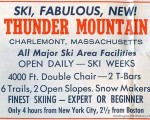
Thunder Mountain
1961-62 Eastern Ski Map
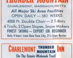
Thunder Mountain
1962-63 Eastern Ski Map
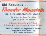
Thunder Mountain
1964-65 Eastern Ski Map
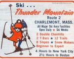
Thunder Mountain
1965-66 Eastern Ski Map
Berkshire East
2001 Greenfield Recorder
Berkshire East
2001 Greenfield Recorder
Berkshire East
2003 Greenfield Recorder
Berkshire East Then and Now
Berkshire East
Berkshire East Aerial Imagery, 1992 vs. 2012
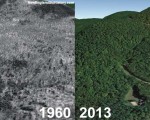
Berkshire East
Berkshire East Aerial Imagery, 1960 vs. 2013
See also: Lifts and Maps at
Berkshire East Profile
Advertisement
Topics
Links
What's New
Feedback
Copyright 2002-2024, All Rights Reserved.